April in Rocky Mountain National Park
I hadn't been up to Rocky Mountain National Park since September, when my youngest son Zach and I had spent time there just two days before the enormous flooding that we experienced here in Colorado. The drive up Big Thompson Canyon was testament to the incredible power of water when too much rain falls in a short period of time. It was sobering to see the enormous rocks that tumbled down mountain sides, the sheer amount of destruction, the huge numbers of homes and businesses destroyed and to see the canyon widened and deepened in so many locations.
Also amazing was how much work has been done already, despite our heavy winter snows in the region this winter. We passed many large work crews that were working on stabilizing the creek bed and roadways, making it possible for the people whose homes survived to get to and from them. I feel for the many others who have lost homes. We saw so many with major damage, marked with huge orange X's denoting the fact that they are condemned. Some so badly damaged and unstable that it is impossible for the owners to even salvage any of their belongings. We did not take any photos in the canyons as we did not want to stop and hinder any of the work being done or create an unsafe situation.
In Estes Park, the gateway city to Rocky Mountain National Park, they have done huge amounts of cleanup and the town, which was virtually isolated by the flood for nearly two months is open for business once again.
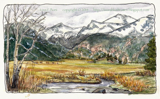
Zach and I were anxious to see how the Park had fared as we had heard of much trail damage and some road damage. I am so glad to have found that much of the park is unscathed! We stopped at Moraine Park for a couple of hours so I could sketch the view, the result is the sketch above. Though the sky was somewhat gloomy and overcast, we had a lovely day, with warm temperatures and no wind, and the first hints of green showing in the mountain meadows!
Earlier in the day we made our first stop at the Alluvial Fan. In 1982, an old dam on a high mountain reservoir called Lawn Lake gave way and the resulting flood became known as the Lawn Lake Flood. It changed the topography of a small canyon and Endo Valley below it as well as sending floodwaters cascading down through the center of Estes Park. The large fan of rock and sand that spread out across Endo Valley became known as the Alluvial Fan. The park rebuilt the road, added trails and installed signs explaining the changes that had taken place. Where there used to be a small tumbling mountain stream, there was now a large tumbling waterfall cascading over the newly exposed rock bed. Over the years, trees and shrubs took root in the rocky soil and the bones of the alluvial fan started to disappear under the trees.
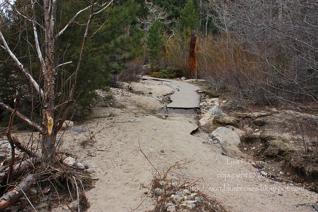
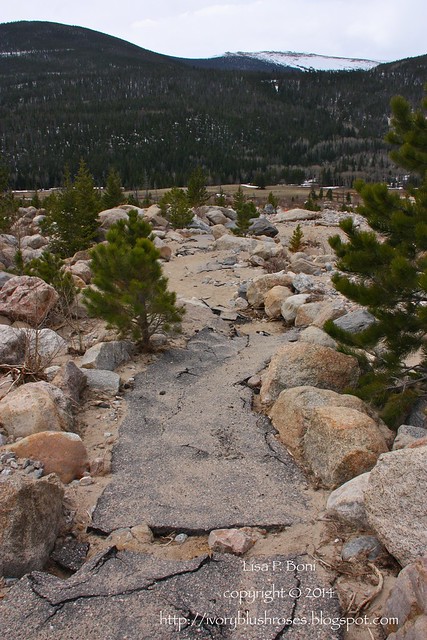
Then came the September 2013 floods, which re-impacted the Lawn Lake Flood area in a big way, damaging (and destroying) all the roads and trails in the area, depositing new layers of sand and rock and rerouting the creek. Here you can see a damaged portion of the trail that used to lead up to a view point for the falls. This was a "good" section of the trail. In most places, it has disappeared entirely.
Here is another portion of damaged trail leading off into the debris field.
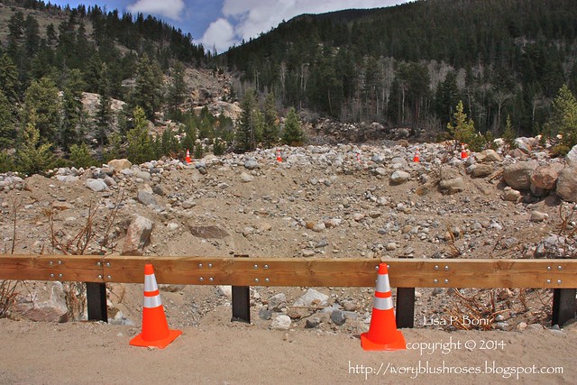
Instead of a V shaped gouge down the mountain side, the creek now tumbles down a widened U shaped gorge. I took this picture standing on the bridge that used to traverse the creek. Where the creek flowed is filled in with huge mounds of rock and sand now.
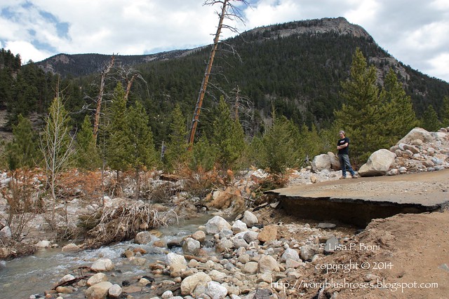
Zach is standing on the old road bed. You can see the new route that the creek follows now.
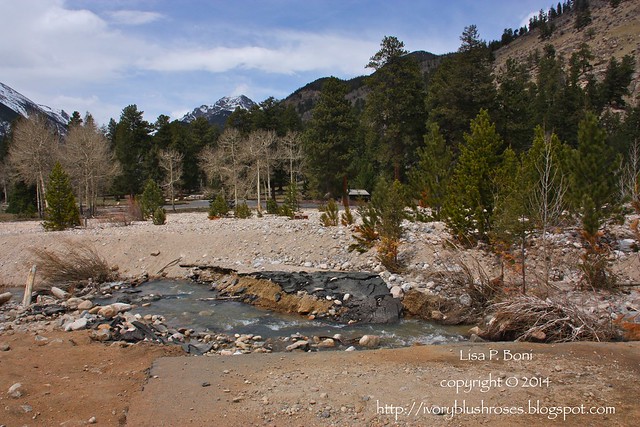
This is looking across to the west side of the Alluvial Fan. It was on this side that I usually parked to hike up. The road beyond leads into the deeper part of Endo Valley and up the Old Fall River Road which was created back in the 1920s as the first route over the Continental Divide in the park. I understand that the road is badly damaged and that it will be at least two years or more before it will be able to be repaired. All of this damage is just a glimpse of the devastation that occurred down most of the mountain canyons. Here, the rocks are fairly small, while down in the canyons, the boulders that rolled down the mountains and in the creeks were the size of cars and large trucks.
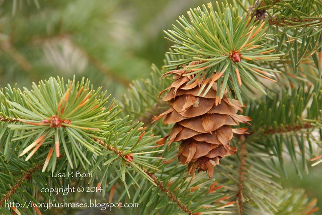
Despite all the devastation, there is still life! Perfect pinecones hang on the fir trees...
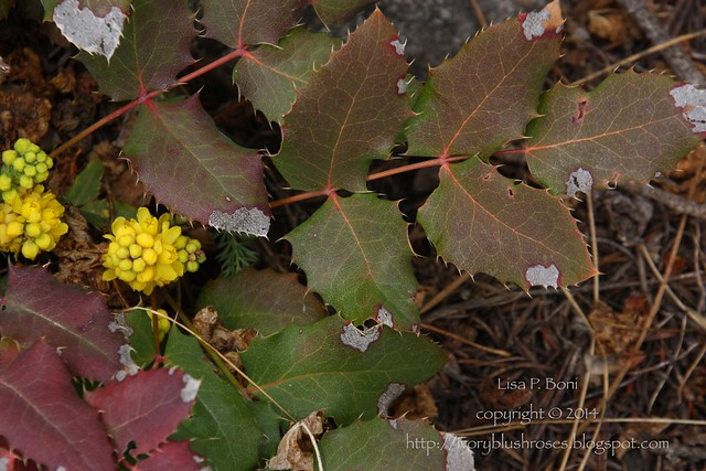
The native Oregon Grape Holly still blooms...
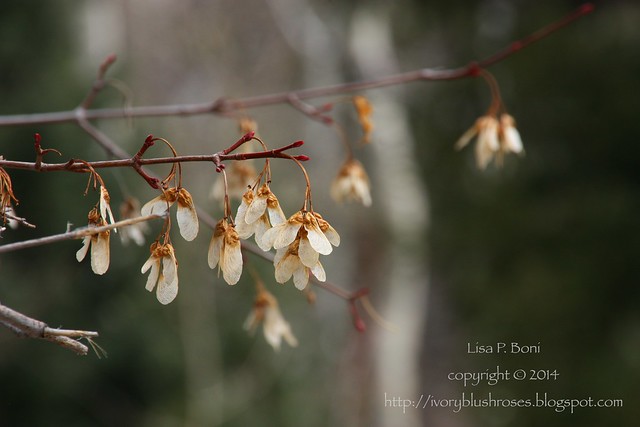
The newly budding branches of the Rocky Mountain Maple bear the winged samaras from last year's crop...
The native willow shrubs send out fresh growth and are covered in soft pussy toes...
And even the bark of stately Ponderosa Pines glistens in the morning light.
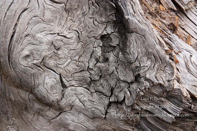
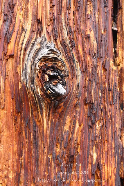
Trees that fell long ago show whorls of age like fingerprints, patterns of the cosmos captured in the old wood worn smooth with time.
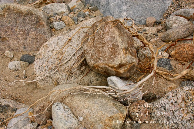
Along the new creek bed, a glimpse of the beauty of twisted roots of some small uprooted shrub. So much beauty everywhere, even in destruction, if we just take time to look.
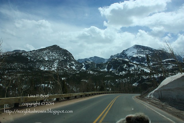
Snow lingers on the peaks, but spring is coming to the mountains. What a season of rebirth this will be for the flood ravaged regions. All of my life, I've been awed by the processes that it takes to carve the mountain landscape. The September floods gave us an up close and personal look at those forces. It reminds me that no matter how powerful mankind thinks they are, God is more powerful still. In the same way that a fire can refine and rejuvenate, these floods, devastating as they were, have scoured away the old, and now is the time for regrowth and renewal is here.


Comments
Apesar da destruição continua lindo!
Um abraço!
In the last paragraph you write what I thought reading your text: nature (God) know what makes!
Despite the destruction still beautiful!
Hugs!